About
ARUSHA NATIONAL PARK
The park is just few km north east of Arusha city, though the main gate is 25km east of the city.
It’s also 58 km from Moshi town and 35 km from Kilimanjaro international airport (KIA).
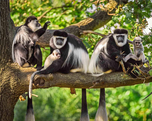
The mount Meru, a prominent volcano with an elevation of 4566m also the 2nd highest peak which also found in the Arusha national park located in the Arusha region of north eastern Tanzania. Mount Meru is just 60km away from the m. Kilimanjaro and forms a backdrop to view it from the park to the east-side. Arusha national park lies on a 300km axis of Africa’s most famous national park running from Serengeti and Ngorongoro crater in the west to the Kilimanjaro national park in the east. The park is small but varied with spectacular landscapes in three distinct areas in the west, the Meru crater funnels the Jekukumia River, and the peak of the mount Meru lies on its rim. The Ngurdoto crater in the south-east is grassland, the shallow alkaline Momella Lakes in the north-east have varying algae colors and are known for their wading birds. The park contains a rich variety of the flora and fauna. Map and picture.